Hurricane Milton Update october 9
22:00
In Sarasota, electrical transformers explode due to wind and rain.
On the other side of Hurricane Milton’s eye now in Sarasota, transformers are still exploding left and right. Wind is going crazy. pic.twitter.com/PbEOGmjDsv
— Vee (@BunnehTV) October 10, 2024
Meanwhile in the eye of the storm
In the eye of #Hurricane #MILTON in Downtown Sarasota #Florida. A deeply calm, meditative eye. Absolutely spectacular. pic.twitter.com/WhT3vmDklk
— Josh Morgerman (@iCyclone) October 10, 2024
21:00
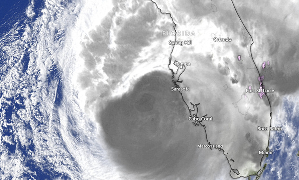
The eyewall of Hurricane Milton began to make landfall at 8:30 p.m. this Wednesday, near Tampa, on Siesta Key with sustained winds of 120 miles per hour.
The blackouts are affecting a large area of the coast.
We are writing…
19:30
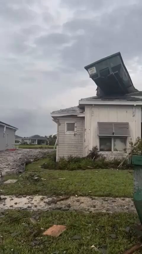
Hurricane Milton has generated an outbreak of tornadoes in Florida, caused by spiral bands approaching the earth’s surface.
Since early morning, tornado warnings have been issued in Florida, and videos of tornadoes in different counties in the state have gradually appeared on social media platforms.
The criterion used to classify a tornado outbreak is 10. As of this afternoon, 17 tornadoes had already formed.
Meanwhile, the hurricane has made a slight turn north, approaching Tampa, which will generate a higher storm surge.
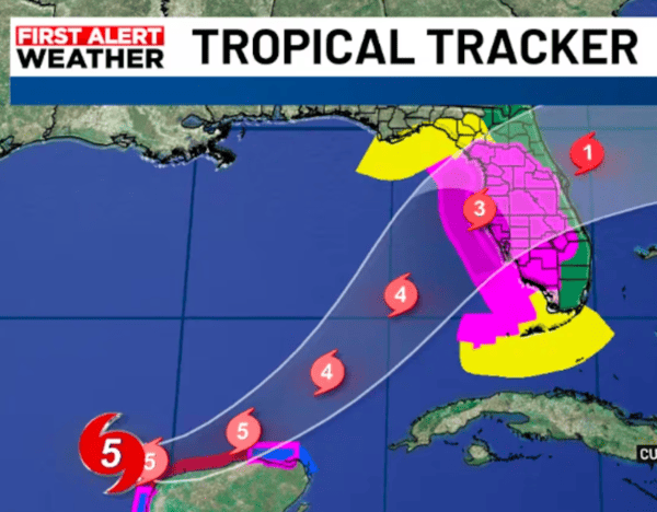
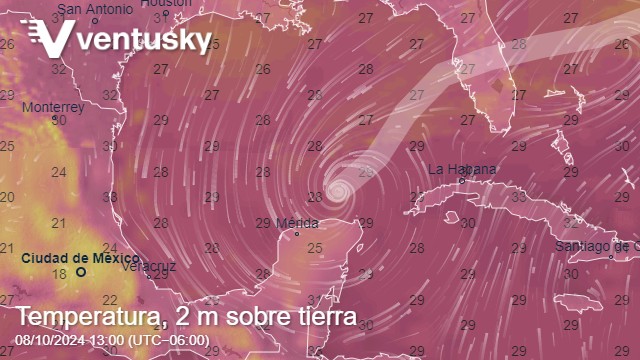
You can take the courses of this major hurricane on the map.
18:00
The hurricane has been downgraded to Category 3, with rain still falling on the coast of Florida.
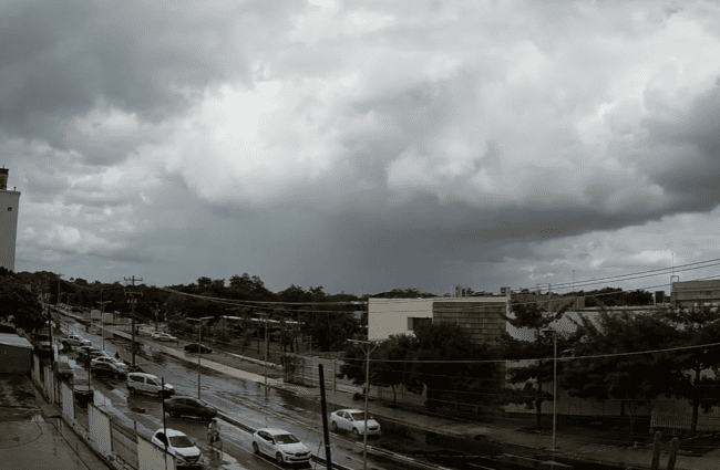
So far it is maintaining its route to Tampa Bay and visibility on webcams is almost zero.
15:30
In Osceola County, Florida, a curfew has been declared from 8 p.m. until tomorrow at 10 a.m. This includes the cities of Kissimmee and St. Cloud.
Milton being affected by dry air & wind shear, stills cat 4 & wobbling to the Florida coast. Tampa Bay area will be ground zero within 7 hrs, at 10 p.m. local.
Milton’s vortex shedding is triggering tornadoes along Florida peninsula.
14:00
Some counties are under a tornado warning.
People in Florida are advised to be alert to tornado alerts provided by authorities.
13:30
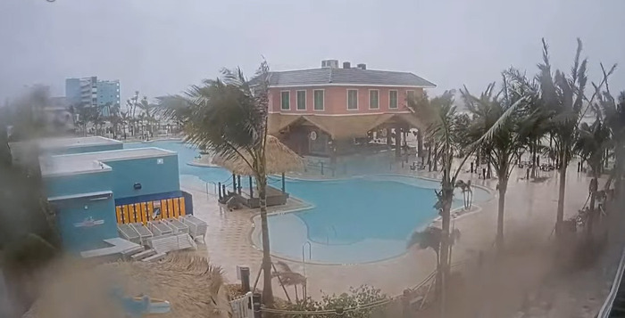
Latest: Winds and rain are strong in Tampa.
Its position is 26.2º N 84.2º W at 375 km north northwest of Havana and 260 km southwest of Tampa, Florida.
Maximum sustained winds: 230 km/h (Category 4)
Moving northeast at 28 km/h.
The government has urged people to evacuate by 3 p.m. at the latest.
Tampa is experiencing increased amounts of rain, while Fort Myers is experiencing strong gusts of wind.
11:00
Governor Ron de Santis’ press conference is over, and the call for self-evacuation to prevent tragedies remains in place.
In the latest bulletin from the National Hurricane Center, with maximum sustained winds of 145 mph.
It remains a Category 4, at 17 miles per hour, located 190 miles from Tampa Bay, and heading NE, at some point closer to Sarasota.
10:50
Now you can watch different webcams in 4 areas of Florida.
Authorities believe the hurricane could make landfall around midnight on Wednesday.
Governor DeSantis anticipates that there may be damage in some counties, serious damage, however he anticipates that they will work hard so that people can return in a maximum of 3 days.
10:45
Rain is already evident in Key West and Tampa, while winds and gusts are stronger
10:30
This morning, Hurricane Milton has been downgraded to a Category 4 hurricane, while continuing its path to Florida.
Since dawn today, it has already caused cloud cover in much of the peninsula.
A tornado was reported early in Glades County, associated with the arrival of strong winds from the hurricane.
